Across the Timor Sea: King George River to Kupang

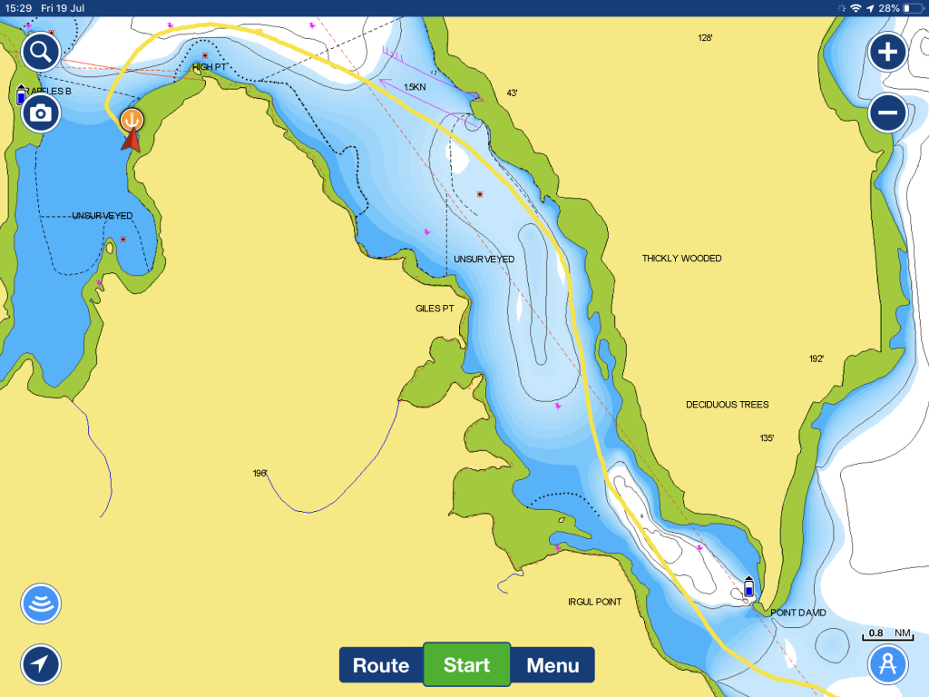
We left our anchorage in King George River early so as to hit the river bar crossing half an hour before high tide. We calibrated the depth sounder with a lead line last night found we were over estimating depth below the keel by 300mm. As we only had 300mm showing under the keel at the shallowest point when we entered, we were (understandably) nervous about getting out. Imagine seeing -0.1m on the way out… We checked the lead line later in the day and found the 5 meter mark at 5.25m, so our original calibration was pretty close.

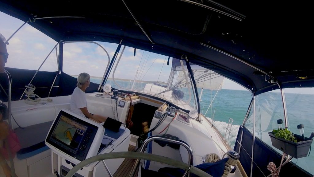
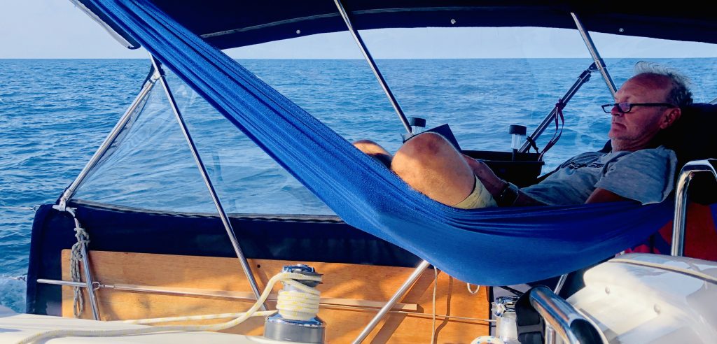
We put up the full main while still in Koolama Bay and found a light south-westerly as we sailed north-west for Kupang. This light beam wind and a favourable current carried us well into Sunday. We had a perfect day reaching at a slightly heeled angle making 6.5 knots, reading and relaxing.

Crossing the Timor Sea

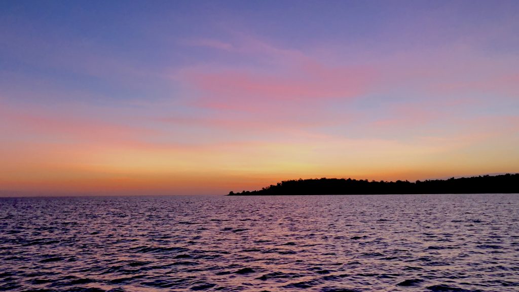
The night sail was serene, gliding along at 5-6 knots on a glassy sea, trailing a phosphorescent wake in the light of the full moon.

After sailing for nearly 30 hours in light beam wind conditions, the wind finally died. The engine came on just after 11am and we resigned ourselves to motoring. We got into Kupang mid-afternoon on Monday 19 August 2019, anchoring a couple of cables off Teddis Beach.

Valentia Island to Raffles Bay, Croker Island

Up early today and weighed anchor at 5:55AM under a nearly full moon. We’re off to the Bowen Channel, aiming to enter at Point David just after high tide to maximise depth and have the ebb current with us. Destination is Raffles Bay for a day of administrative taks while we (hopefully) have Internet from Croker Island.

We motored most of the way, with a light SE wind behind us and an optimistically hoisted main sail giving us a little push while damping the little roll.

We’re welcomed by two old dolphins with fairly worn-out looking dorsal fins. They kept pace for almost the whole length of the Strait. We speculated whether they were herding us away from the shoals and reefs as they were now this side then the other. Sometimes at the bow and then coming up from astern. We were not upset to be part of this old-timers club!

Bowen Strait Dolphins

We are now anchored in Raffles Bay, behind Second Island. It’s a lovely anchorage and we managed to get close to the sandy beaches which we might explore a little later.

Yotties info: We got to the southern entrance of Bowen Strait around 7:30am, 15 minutes after high tide, but the current was still running east at about a knot. In fact, it was 9:30am before it turned in our favour, a full 2 hours after high tide at Point David and almost 3 hours after high tide at Peacock Island at the northern end of Croker Island.

We found Bowen Strait has good depth throughout on the track shown. As others have found, the chart bathymetry is pretty hopeless. The shallowest point was at the south-east entrance, not unlike a river bar, where we found about 5m LWS. In other places, where Navionics HD bathymetry showed 0.5m, we got 12-15m. A pity as we may have sailed rather than motored if we were confident about the depths. We referred to Google Earth for guidance as the water colour along the shores at least seems to show shoal water and reefs.

The anchorage behind second island was perfect for our conditions, with 3m depth (LWS) over sand. We used Google Earth to creep in and found an evenly sloping sandy bay with no reefs. There is no NE swell to speak of and it appears well protected from SE winds. Bonus: 2 bars of fast 4G Telstra Internet!

Bowen Strait and Raffles Bay (charts by Navionics)

North Goulburn Island (Mullet Bay) to Valentia Island

Left North Goulburn Island at high tide, around 8:30am and rode the ebb tide all morning, up to a knot from behind. Fresh SE winds, up to 25 knots at times, pushed us along with poled out headsail. We saw several surfs of 11-12 knots and averaged 6.8 knots for the day. The last hour or so we had the wind on the beam, ripping along at 8 knots or so. Real sailing for a change!

Valentia Island

The island is rather pretty, with nice bays, red rocky cliffs and sandy beaches. We poked around in the dinghy taking soundings around our anchorage and then went ashore. We still haven’t grown weary of a gorgeous sunset, often reddened by smoke from the fires on land that seem to be common here in Arnhem Land.

Valentia Island Sunset

Yotties info: the anchorage at Valentia Island turned out to be very snug. While it appears not to offer great shelter from the SE wind there is very little fetch from the mainland and so no real sea to contend with. We anchored in about 4.2 metres on a 1.3m tide, so just under 3 metres at LWS. We interpolated the Cape Cockburn and Point David tides, which seemed to be about right – we didn’t bump at spring low tide in the middle of the night – as far as I know. Good holding in silty sand. Note that the track below includes our dinghy ride to the beach!

Valentia Island Anchorage (copyright Navionics)